Viewer

A platform to view your proprietary imagery online

  • Offers Street View, Drone, and 360 Imagery
  • Imagery Stored Safely in the Cloud
  • Maintain Imagery Clarity With No Compression
  • JOSM Open Street Map Editor Integration
  • Easily Navigate Your Imagery Tracks with Nautical Colors

Viewer is the go-to platform for your street-level, drone, and 360 imagery with map data available at a glance.

Go to Viewer

Feature Overview

Privacy Icon

Privacy

Optional face and license plate blurring on upload, Keeping your data in your hands
Imagery Types Icon

Different Imagery Types

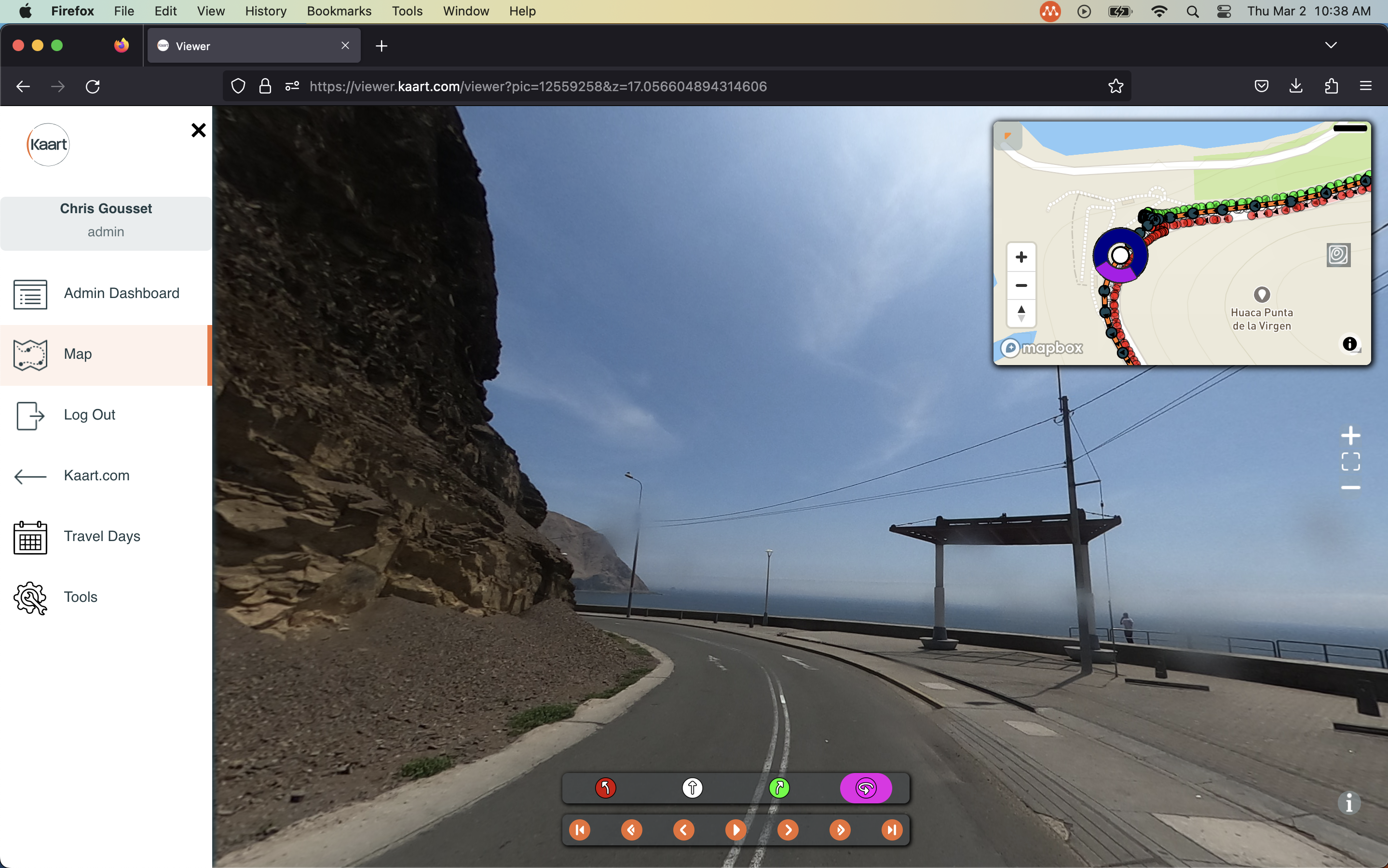
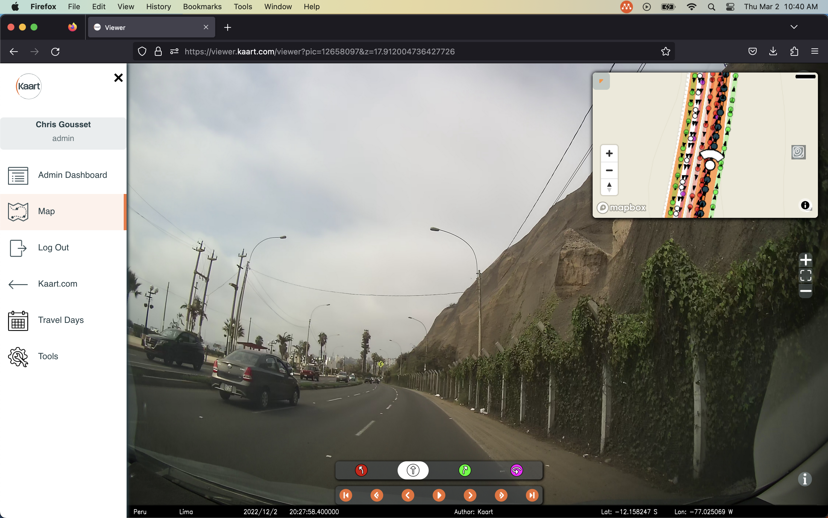
Supports directional street view, drone, and 360 imagery
Data Access Icon

Data Access

Easily access imagery and map data all in one spot
Storage Icon

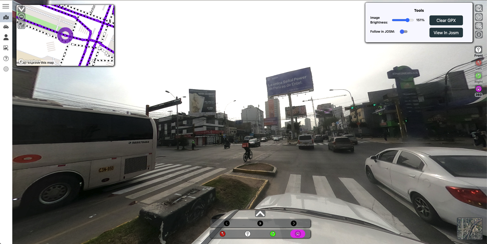
No Imagery Compression

Maintain the clarity of your imagery with no compression
Josm Icon

JOSM Integration

Follow your imagery tracks in josm for seamless OSM editing
Admin Icon

Project & User Management

Easily view and manage your projects and organization members

A Plan for Everyone

Basic

Ideal for individual users needing core viewing capabilities.

  • Single user access
  • View standard resolution imagery (Street View, 360)
  • Access standard map data layers
  • Basic cloud storage integration (e.g., 1gb bucket)
  • Limited support
Free
Recommended

Professional

Best for teams requiring advanced features, collaboration and data access.

  • Small team access (e.g., up to 30 users)
  • Includes all Basic features
  • View high-resolution & blurred imagery
  • Access advanced map data layers
  • Expanded cloud storage options
  • Standard email support
$25/month/user

Enterprise

Tailored solutions for large organizations with specific needs.

  • Custom user count
  • Includes all Professional features
  • API access for integration
  • Advanced collaboration tools
  • Dedicated support & SLA
  • Custom feature/data options
Contact Us for Details

Frequently Asked Questions

Kaart Viewer is a platform designed for viewing your proprietary imagery along with relevant map data through a simple dashboard. Viewer offers integration with JOSM, allowing you to follow your imagery tracks in the popular OSM editor.

Currently, Viewer supports Street View (180-degree & 360-degree) imagery in JPG & JPEG formats. Future additions inclue drone imagery and additional formats.

The platform has its own proprietary desktop Uploader, which is available through your account in the Upload section. Uploads are specific to your organizational account and only visible by those in your organization. For smaller uploads, you can use the web uploader's drag-and-drop feature within the Uploader page of Viewer.

Kaart Viewer prioritizes keeping your data secure. When uploading imagery, users are given the option to blur faces and license plates on their imagery. Object detection will be included in future updates.

Please use the signup buttons to create an account to try it out. For more information about accessing Viewer, including potential demos or pricing based on your needs, please contact us directly. You can reach us via email at hello@kaart.com or by phone at (970) 234-7449.